|
|
 |
|
|
|

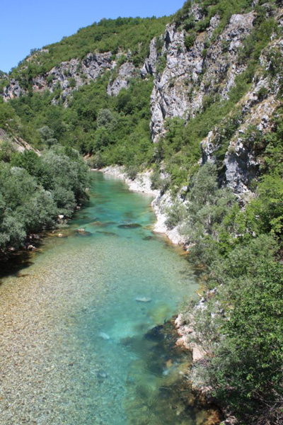
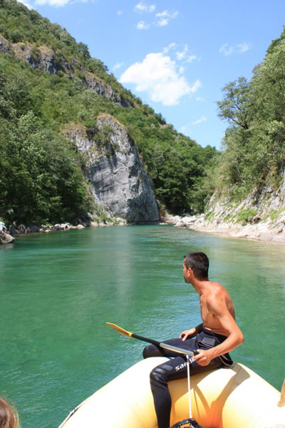
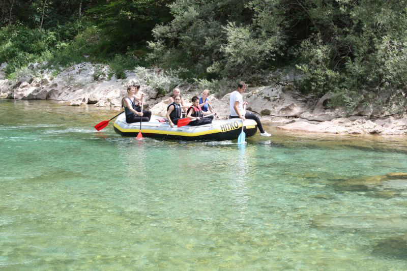
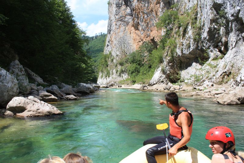
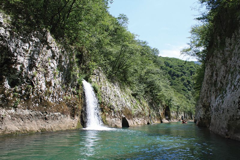
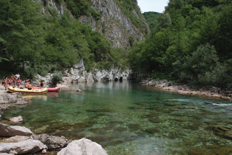
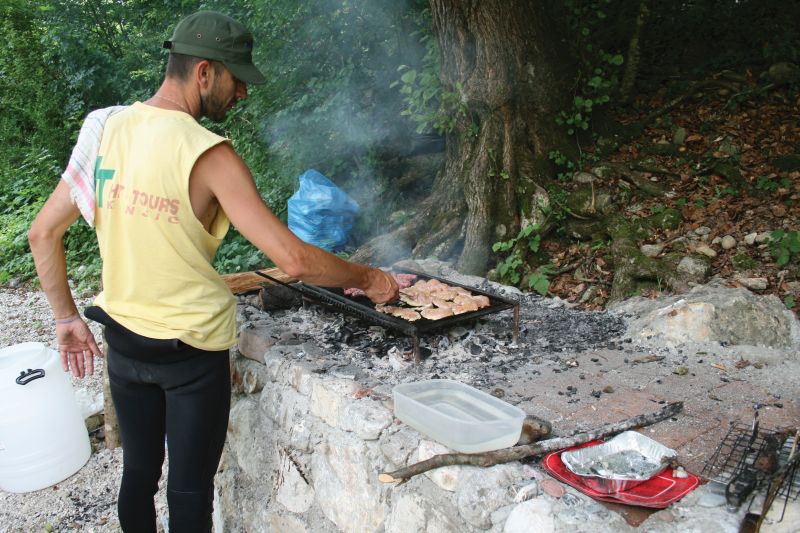
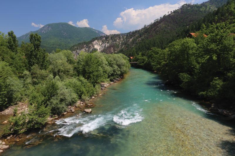
The upper Neretva River, from its source to the town of Konjic, offers numerous opportunities for an active or relaxing holiday. Fresh air, clear water, and the beautiful environment are the main attributes of this area. The most popular activity in the region is a relaxing day of rafting in the Neretva River Canyon (1), which includes a mandatory break at the mouth of the Rakitnica River, where it flows into the Neretva.
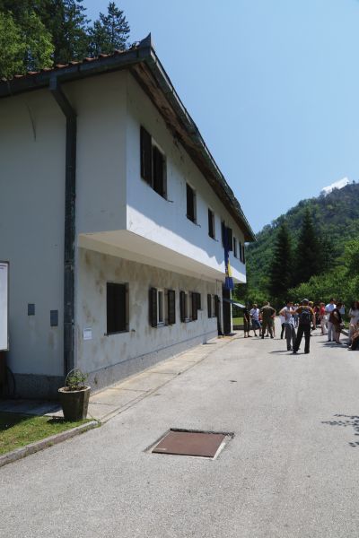
In addition to rafting, visitors can enjoy relaxing on Boračko Lake (2) or in the vicinity of the village of Glavatičevo (3), sightseeing in the town of Konjic (4), a visit Tito's Bunker (5), which was formerly a secret fallout shelter, or go hiking on the nearby mountains of Prenj and Bjelašnica.
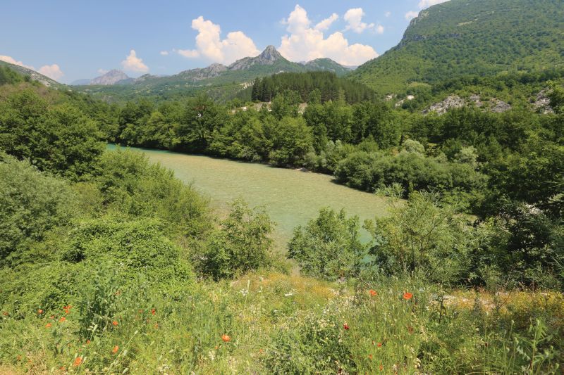
The Neretva River is approximately 225 km long. Originating at the foot of the Zelengora Mountains, it is the only river in BiH that flows into the Adriatic Sea. For the majority of its length, it runs through Herzegovina, with the final 22 km flowing through Croatia.
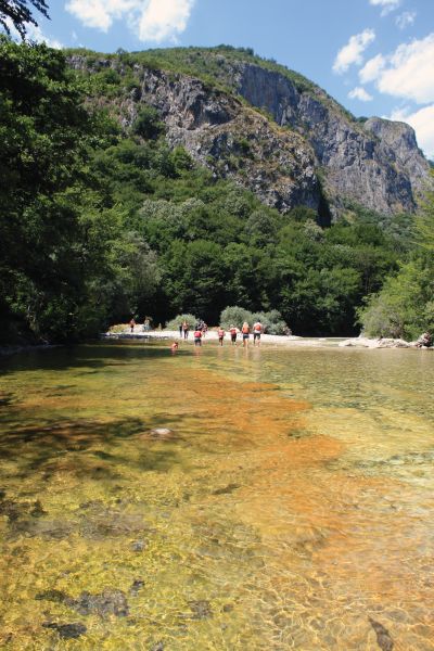
The route between Glavatičevo and Džajići, a distance of approximately 23 km, is used for rafting. Rafting the emerald green waters of this route takes about 5 hrs. Both adults and children can take part in rafting excursions. Over 10,000 visitors per year make rafting the Neretva River a very popular activity.
....
The Rakitnica River is 26 km long. It is the largest tributary in the upper Neretva's course. Largely inaccessible, the river runs through one of Europe's largest canyons, which is located between the mountains of Bjelašnica and Visočica. The entrance to the canyon is 1,150 m.a.s.l. After a 21.5 km course through the canyon, the Rakitnica River flows into the Neretva River at 300 m.a.s.l.
....
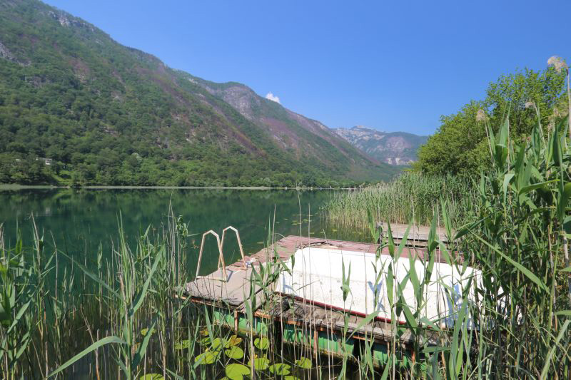
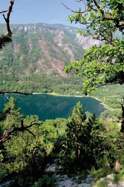
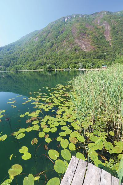
Boračko Lake is the most famous natural mountain lake in BiH. The lake is approximately 750 x 400 m wide and up to 14 m deep. The lake and its surroundings offer enjoyable opportunities for walking (including a trail around the lake), swimming, boating, and biking.
....

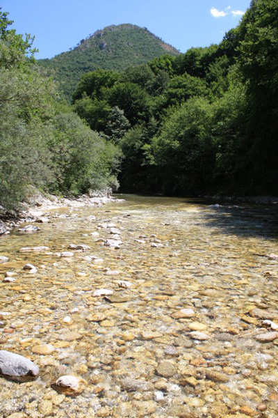
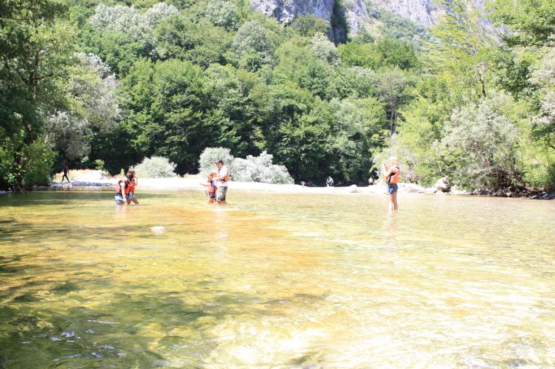
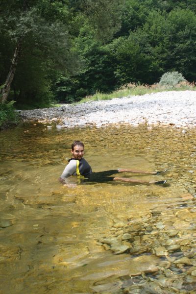
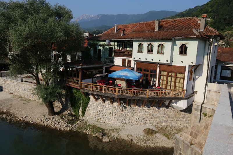
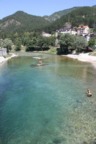
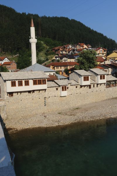
The village of Glavatičevo is located approximately 30 km from Konjic in the Neretva River valley, and is surrounded by mountains that offer ideal opportunities for hiking. Visitors can also find relaxing pebble beaches on the banks of the Neretva River in the vicinity of the village.
....

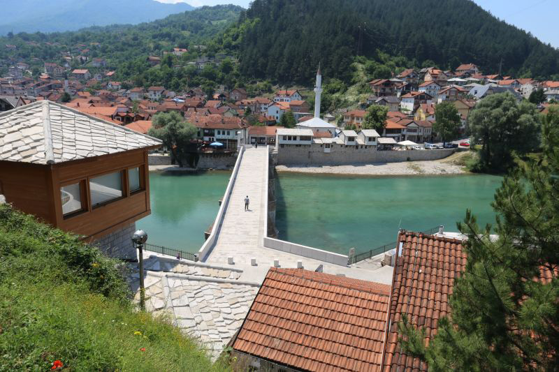
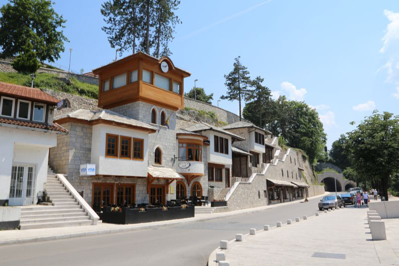
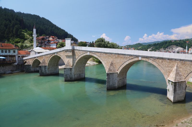
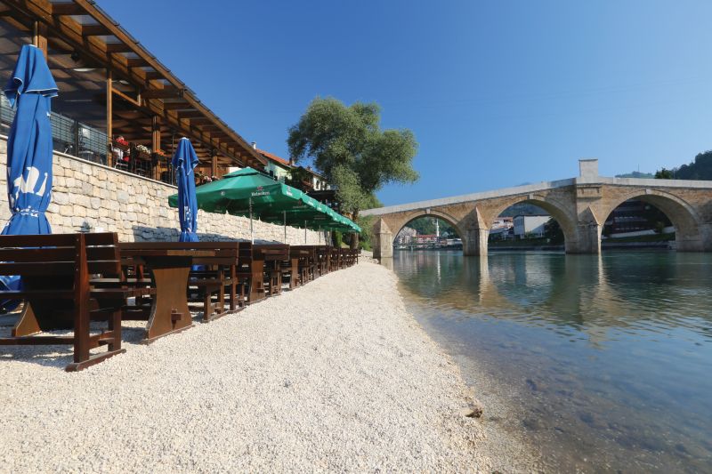
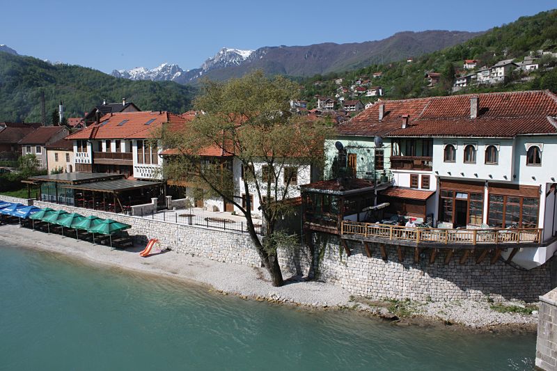
Konjic is a market town in northern Herzegovina. The old stone bridge, which is the town's symbol, was built in 1682. Construction of the bridge is attributed to Haseći Ali-agi Kolaković, originally from Blagaj and a senior official in Istanbul. The six-arch bridge is 101.8 m long and 5.25 m wide. It was destroyed in 1945 during the retreat of the German army and reconstructed in 2009. Numerous shops and restaurants may be found on either side of the bridge. It is a real pleasure to drink a traditional Bosnian coffee in one of the restaurants located on the banks of the Neretva River.
....
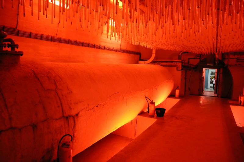
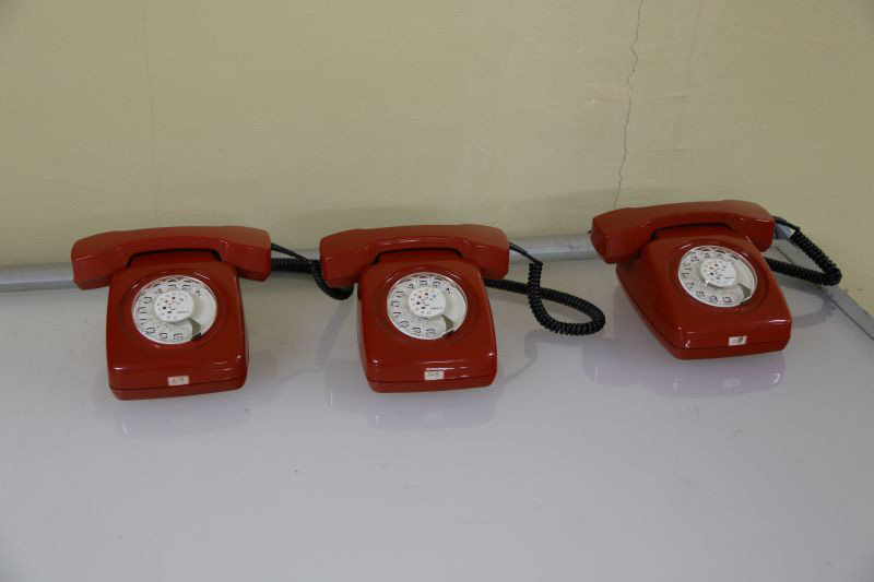
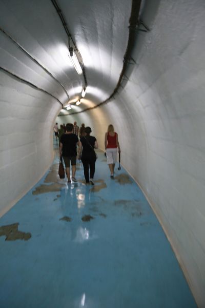
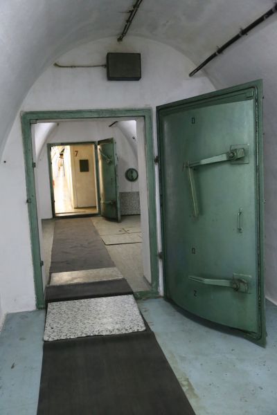
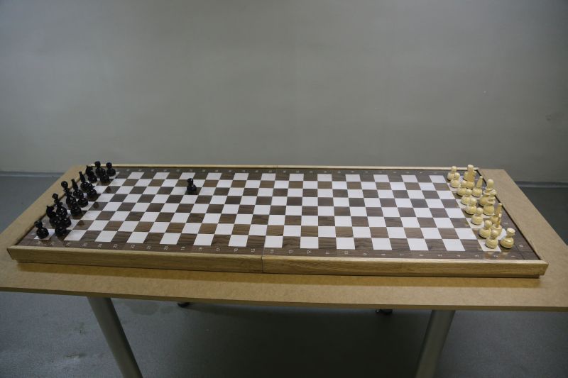
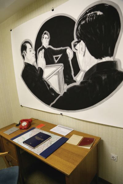
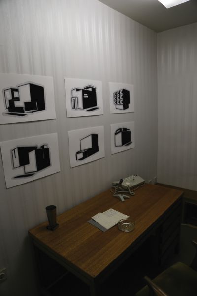
This military facility called D-0, at the foot of Mount Zlatar, was built in complete secrecy over a 26-year period (1953-1979). The bunker is approximately 6,500 sq.m in size, and is located 280 m under ground. It consists of over 100 air-conditioned rooms in which 350 individuals could reside for 6 months. In the event of nuclear or other destructive warfare, the bunker was to function as a center for military operations and a shelter for President Tito, his family, and his closest associates. The bunker was designed to withstand a nuclear strike of up to 25 kilotons.
....